Directions on the Territorial Army Centre, Prestatyn
Introduction
The photograph on this page of Directions on the Territorial Army Centre, Prestatyn by Jaggery as part of the Geograph project.
The Geograph project started in 2005 with the aim of publishing, organising and preserving representative images for every square kilometre of Great Britain, Ireland and the Isle of Man.

There are currently over 7.5m images from over 14,400 individuals and you can help contribute to the project by visiting https://www.geograph.org.uk
Directions on the Territorial Army Centre, Prestatyn
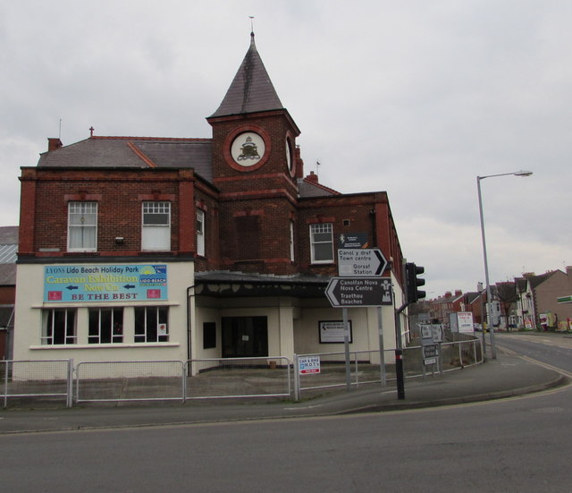
Image: © Jaggery Taken: 9 Feb 2017
Left (along Bastion Road) for beaches, Lido Beach Holiday Park, Nova Centre. Right for the town centre and railway station.
Images are licensed for reuse under creativecommons.org/licenses/by-sa/2.0
Image Location
Latitude
53.337747
Longitude
-3.407774