Best Lane, Farnley Tyas
Introduction
The photograph on this page of Best Lane, Farnley Tyas by Humphrey Bolton as part of the Geograph project.
The Geograph project started in 2005 with the aim of publishing, organising and preserving representative images for every square kilometre of Great Britain, Ireland and the Isle of Man.

There are currently over 7.5m images from over 14,400 individuals and you can help contribute to the project by visiting https://www.geograph.org.uk
Best Lane, Farnley Tyas
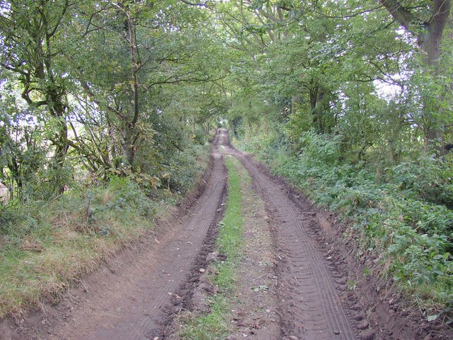
Image: © Humphrey Bolton Taken: 23 Sep 2007
A field access lane, used by the tractors and farm machinery that were working in the fields today. On the 1850 map it led to a farm called Lumb Royd at the south-eastern corner of Arthur Wood.
Images are licensed for reuse under creativecommons.org/licenses/by-sa/2.0
Image Location


Leaflet Map data © OpenStreetMap
Latitude
53.61422
Longitude
-1.765667