Weir on the River Derwent at West Ayton
Introduction
The photograph on this page of Weir on the River Derwent at West Ayton by Martin Dawes as part of the Geograph project.
The Geograph project started in 2005 with the aim of publishing, organising and preserving representative images for every square kilometre of Great Britain, Ireland and the Isle of Man.

There are currently over 7.5m images from over 14,400 individuals and you can help contribute to the project by visiting https://www.geograph.org.uk
Weir on the River Derwent at West Ayton
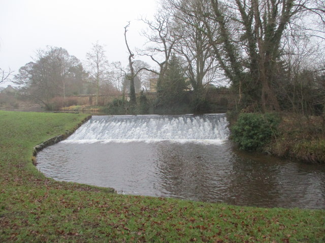
Image: © Martin Dawes Taken: 10 Jan 2018
The river is the boundary between East and West Ayton
Images are licensed for reuse under creativecommons.org/licenses/by-sa/2.0
Image Location
Latitude
54.246766
Longitude
-0.486479