Bron-y-nant ruin
Introduction
The photograph on this page of Bron-y-nant ruin by Jonathan Wilkins as part of the Geograph project.
The Geograph project started in 2005 with the aim of publishing, organising and preserving representative images for every square kilometre of Great Britain, Ireland and the Isle of Man.

There are currently over 7.5m images from over 14,400 individuals and you can help contribute to the project by visiting https://www.geograph.org.uk
Bron-y-nant ruin
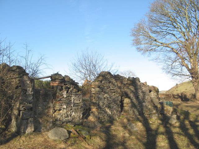
Image: © Jonathan Wilkins Taken: 10 Jan 2018
The remains of a farmstead given as Bron-y-nant on larger scale maps. Apparently, the original Capel Nebo was down here before its rebuilding in 1888 at the road junction (see Image).
Images are licensed for reuse under creativecommons.org/licenses/by-sa/2.0
Image Location


Leaflet Map data © OpenStreetMap
Latitude
53.225356
Longitude
-3.748776