Lloyds Bank, Rugby
Introduction
The photograph on this page of Lloyds Bank, Rugby by Robin Webster as part of the Geograph project.
The Geograph project started in 2005 with the aim of publishing, organising and preserving representative images for every square kilometre of Great Britain, Ireland and the Isle of Man.

There are currently over 7.5m images from over 14,400 individuals and you can help contribute to the project by visiting https://www.geograph.org.uk
Lloyds Bank, Rugby
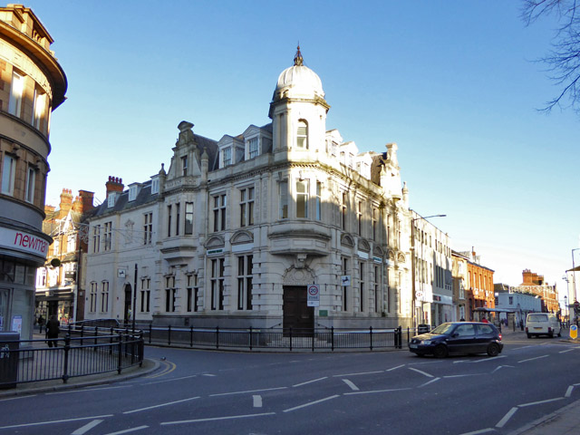
Image: © Robin Webster Taken: 7 Jan 2018
A grade II listed building, dated 1904, the extension to the left is later. Above the door there is a panel 'Old Bank'. Was this the name of the first occupiers?
Images are licensed for reuse under creativecommons.org/licenses/by-sa/2.0
Image Location


Leaflet Map data © OpenStreetMap
Latitude
52.373071
Longitude
-1.260824