Path Through Former Railway
Introduction
The photograph on this page of Path Through Former Railway by Paul Collins as part of the Geograph project.
The Geograph project started in 2005 with the aim of publishing, organising and preserving representative images for every square kilometre of Great Britain, Ireland and the Isle of Man.

There are currently over 7.5m images from over 14,400 individuals and you can help contribute to the project by visiting https://www.geograph.org.uk
Path Through Former Railway
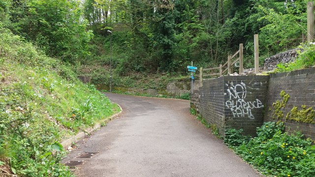
Image: © Paul Collins Taken: 1 May 2017
In the 19th century a path passed under the railway at this point, joining the town with Norton Hill Farm. Later the alignment became Pit Road and was the main access to Norton Hill Colliery (No. 1). Today the railway and colliery have gone but a spoil heap remains, merging with the railway embankment, just visible on the left.
Images are licensed for reuse under creativecommons.org/licenses/by-sa/2.0
Image Location
Latitude
51.285154
Longitude
-2.477148