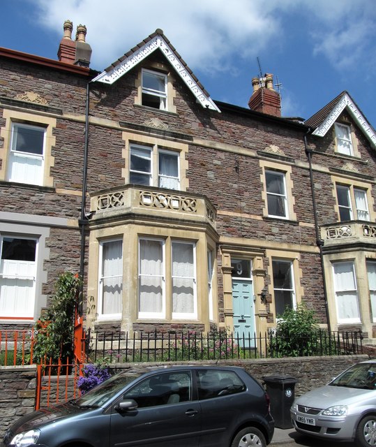
Terraced houses, Manor Park
Introduction
The photograph on this page of Terraced houses, Manor Park by Gordon Hatton as part of the Geograph project.
The Geograph project started in 2005 with the aim of publishing, organising and preserving representative images for every square kilometre of Great Britain, Ireland and the Isle of Man.
There are currently over 7.5m images from over 14,400 individuals and you can help contribute to the project by visiting https://www.geograph.org.uk

Image: © Gordon Hatton Taken: 24 May 2017
Typical 'Bristol style' terraced houses in Manor Park with two storeys plus spacious attic rooms. Many such houses in this area were student 'digs' in the 1960's for those attending the nearby, but long since vanished Redland College for teacher training. This house has particular memories for the photographer, though even after a close examination, no trace could be seen of the small holes made for pitons when a friend made a climbing route up the front of the house.

