Flats in Seabrooke Rd
Introduction
The photograph on this page of Flats in Seabrooke Rd by Glyn Baker as part of the Geograph project.
The Geograph project started in 2005 with the aim of publishing, organising and preserving representative images for every square kilometre of Great Britain, Ireland and the Isle of Man.

There are currently over 7.5m images from over 14,400 individuals and you can help contribute to the project by visiting https://www.geograph.org.uk
Flats in Seabrooke Rd
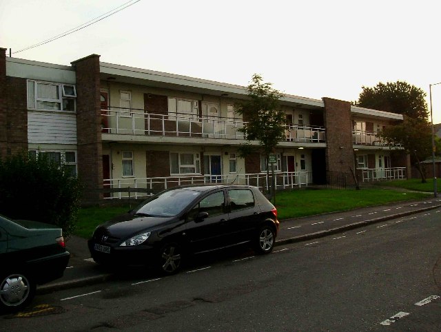
Image: © Glyn Baker Taken: 22 Sep 2005
Flats of this vintage are not common on the Becontree Estate as it was mostly constructed between the world wars. TQ4786 has just about the least green space of any grid square on the estate it being almost equidistant from Valance Park in the East and Goodmayes park in the West
Images are licensed for reuse under creativecommons.org/licenses/by-sa/2.0
Image Location
Latitude
51.55628
Longitude
0.127688