Caverton Mill
Introduction
The photograph on this page of Caverton Mill by Anne Burgess as part of the Geograph project.
The Geograph project started in 2005 with the aim of publishing, organising and preserving representative images for every square kilometre of Great Britain, Ireland and the Isle of Man.

There are currently over 7.5m images from over 14,400 individuals and you can help contribute to the project by visiting https://www.geograph.org.uk
Caverton Mill
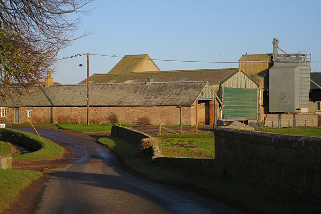
Image: © Anne Burgess Taken: 1 Jan 2018
The bridge is in this square but the gridline goes through the farm buildings.
Images are licensed for reuse under creativecommons.org/licenses/by-sa/2.0
Image Location
Latitude
55.524395
Longitude
-2.397861