The Edge of Warren Wood
Introduction
The photograph on this page of The Edge of Warren Wood by Tony Atkin as part of the Geograph project.
The Geograph project started in 2005 with the aim of publishing, organising and preserving representative images for every square kilometre of Great Britain, Ireland and the Isle of Man.

There are currently over 7.5m images from over 14,400 individuals and you can help contribute to the project by visiting https://www.geograph.org.uk
The Edge of Warren Wood
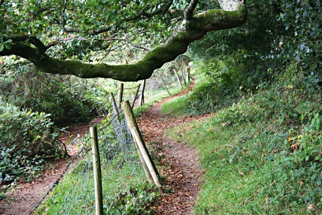
Image: © Tony Atkin Taken: 22 Sep 2007
This is the course of the Saint's Way Footpath which at this point has been diverted from its original route, across the centre of fields, to run along the southern edge of this woodland.
Images are licensed for reuse under creativecommons.org/licenses/by-sa/2.0
Image Location


Leaflet Map data © OpenStreetMap
Latitude
50.367317
Longitude
-4.73039