Barton Farm, Winchester
Introduction
The photograph on this page of Barton Farm, Winchester by Peter Jordan as part of the Geograph project.
The Geograph project started in 2005 with the aim of publishing, organising and preserving representative images for every square kilometre of Great Britain, Ireland and the Isle of Man.

There are currently over 7.5m images from over 14,400 individuals and you can help contribute to the project by visiting https://www.geograph.org.uk
Barton Farm, Winchester
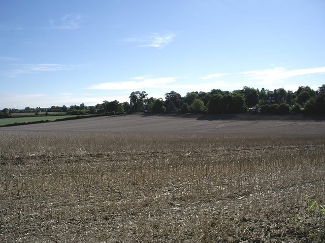
Image: © Peter Jordan Taken: 18 Sep 2005
Looking south east from Andover Road, across farmland towards the trees and houses of Park Road. Cala Homes (South) Ltd wish to build a major housing development on this site. The local councils have rejected the proposals, but the developers have appealed.
Images are licensed for reuse under creativecommons.org/licenses/by-sa/2.0
Image Location
Latitude
51.075459
Longitude
-1.321934