In Culvery Wood
Introduction
The photograph on this page of In Culvery Wood by Neil Owen as part of the Geograph project.
The Geograph project started in 2005 with the aim of publishing, organising and preserving representative images for every square kilometre of Great Britain, Ireland and the Isle of Man.

There are currently over 7.5m images from over 14,400 individuals and you can help contribute to the project by visiting https://www.geograph.org.uk
In Culvery Wood
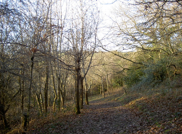
Image: © Neil Owen Taken: 7 Jan 2018
Looking north through the newer area of trees: this part was planted in a Millennium project by the Woodland Trust. There were many hornbeams here and were complemented by fresh additions. The woodland originally was on the lower slopes by the River Chew and was once known as Calvary Wood in the 1800s.
Images are licensed for reuse under creativecommons.org/licenses/by-sa/2.0
Image Location
Latitude
51.373479
Longitude
-2.55306