Llwybr Cil-pentan / Cil-pentan Path
Introduction
The photograph on this page of Llwybr Cil-pentan / Cil-pentan Path by Alan Richards as part of the Geograph project.
The Geograph project started in 2005 with the aim of publishing, organising and preserving representative images for every square kilometre of Great Britain, Ireland and the Isle of Man.

There are currently over 7.5m images from over 14,400 individuals and you can help contribute to the project by visiting https://www.geograph.org.uk
Llwybr Cil-pentan / Cil-pentan Path
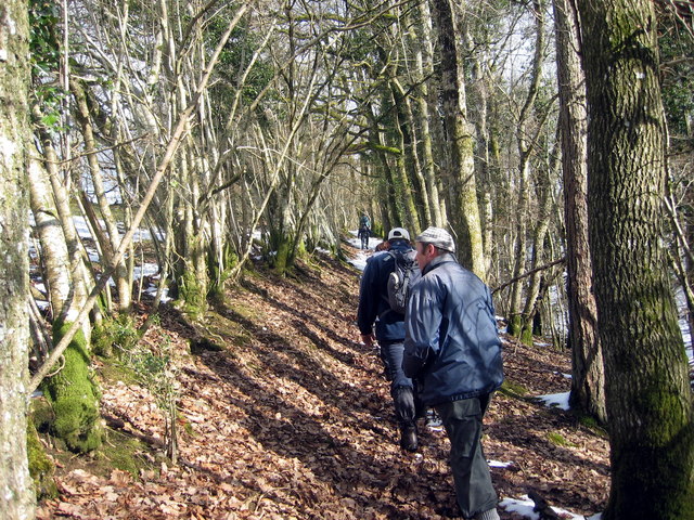
Image: © Alan Richards Taken: 5 Mar 2006
Cerddwyr yn dilyn llwybr cyhoeddus i gyfeiriad Cil-pentan. Walkers following a public footpath in the direction of Cil-pentre (trans. chimney corner / fireside nook).
Images are licensed for reuse under creativecommons.org/licenses/by-sa/2.0
Image Location
Latitude
52.008032
Longitude
-3.721892