Llwybr Cefnpwllhen / Cefnpwllhen Path
Introduction
The photograph on this page of Llwybr Cefnpwllhen / Cefnpwllhen Path by Alan Richards as part of the Geograph project.
The Geograph project started in 2005 with the aim of publishing, organising and preserving representative images for every square kilometre of Great Britain, Ireland and the Isle of Man.

There are currently over 7.5m images from over 14,400 individuals and you can help contribute to the project by visiting https://www.geograph.org.uk
Llwybr Cefnpwllhen / Cefnpwllhen Path
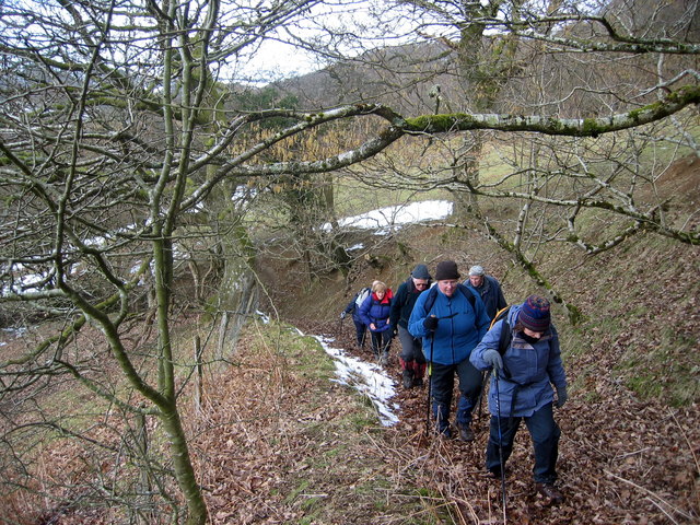
Image: © Alan Richards Taken: 5 Mar 2006
Cerddwyr yn dringo llwybr tuag at Gefnpwllhen. Walkers ascending a path towards Cefnpwllhen (trans. old pool/pit ridge).
Images are licensed for reuse under creativecommons.org/licenses/by-sa/2.0
Image Location
Latitude
51.988774
Longitude
-3.716784