West Howe: footpath E17 to Anstey Road
Introduction
The photograph on this page of West Howe: footpath E17 to Anstey Road by Chris Downer as part of the Geograph project.
The Geograph project started in 2005 with the aim of publishing, organising and preserving representative images for every square kilometre of Great Britain, Ireland and the Isle of Man.

There are currently over 7.5m images from over 14,400 individuals and you can help contribute to the project by visiting https://www.geograph.org.uk
West Howe: footpath E17 to Anstey Road
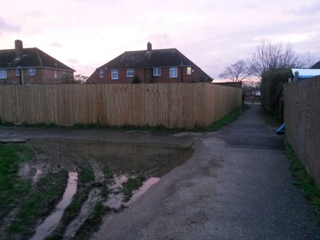
Image: © Chris Downer Taken: 6 Jan 2018
Looking across the corner of the playpark (Image]) and along the public footpath to Anstey Road. The extent of the public right of way is from level with the back garden walls. See Image] for the reciprocal view onto the park from just down the path, and Image] for the view along the path from the far end.
Images are licensed for reuse under creativecommons.org/licenses/by-sa/2.0
Image Location


Leaflet Map data © OpenStreetMap
Latitude
50.766347
Longitude
-1.914303