Farm Track near Higher Foddington
Introduction
The photograph on this page of Farm Track near Higher Foddington by Nigel Mykura as part of the Geograph project.
The Geograph project started in 2005 with the aim of publishing, organising and preserving representative images for every square kilometre of Great Britain, Ireland and the Isle of Man.

There are currently over 7.5m images from over 14,400 individuals and you can help contribute to the project by visiting https://www.geograph.org.uk
Farm Track near Higher Foddington
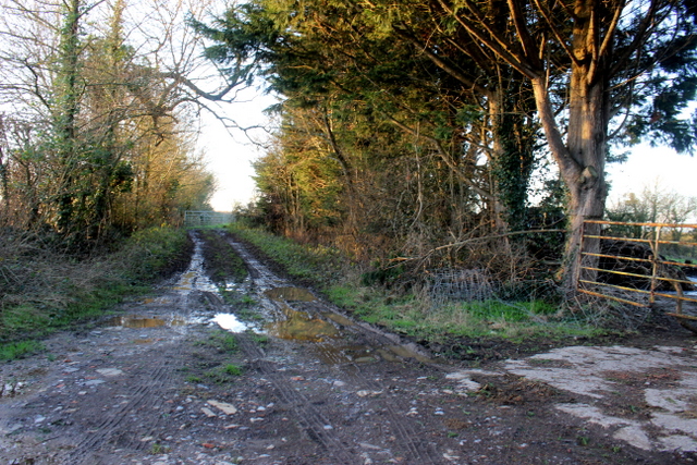
Image: © Nigel Mykura Taken: 26 Dec 2017
This short track giving access to fields also carries a footpath to Lower Foddinton .
Images are licensed for reuse under creativecommons.org/licenses/by-sa/2.0
Image Location


Leaflet Map data © OpenStreetMap
Latitude
51.063229
Longitude
-2.595018