Ryelands Lane, Kilgetty
Introduction
The photograph on this page of Ryelands Lane, Kilgetty by Jaggery as part of the Geograph project.
The Geograph project started in 2005 with the aim of publishing, organising and preserving representative images for every square kilometre of Great Britain, Ireland and the Isle of Man.

There are currently over 7.5m images from over 14,400 individuals and you can help contribute to the project by visiting https://www.geograph.org.uk
Ryelands Lane, Kilgetty
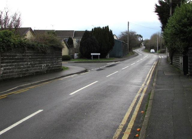
Image: © Jaggery Taken: 6 Jan 2018
North along Ryelands Lane from the corner of Carmarthen Road. The left turn is into Heritage Gardens. https://www.geograph.org.uk/photo/5644737
Images are licensed for reuse under creativecommons.org/licenses/by-sa/2.0
Image Location
Latitude
51.733745
Longitude
-4.71424