Dover Harbour Board, Harbour House, Waterloo Terrace
Introduction
The photograph on this page of Dover Harbour Board, Harbour House, Waterloo Terrace by John Baker as part of the Geograph project.
The Geograph project started in 2005 with the aim of publishing, organising and preserving representative images for every square kilometre of Great Britain, Ireland and the Isle of Man.

There are currently over 7.5m images from over 14,400 individuals and you can help contribute to the project by visiting https://www.geograph.org.uk
Dover Harbour Board, Harbour House, Waterloo Terrace
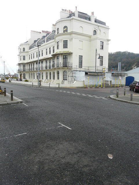
Image: © John Baker Taken: 22 Dec 2017
Planning permission has been granted by Dover District Council under application number DOV/18/00545 for “part replace flat lead roof, supporting timber structure and insert enlarged lead lined gutter. Part remove and rebuild parapet walls. Refurbishment of associated railings and architectural metal work”.
Images are licensed for reuse under creativecommons.org/licenses/by-sa/2.0
Image Location
Latitude
51.121205
Longitude
1.313405