Whitton Tower
Introduction
The photograph on this page of Whitton Tower by Anne Burgess as part of the Geograph project.
The Geograph project started in 2005 with the aim of publishing, organising and preserving representative images for every square kilometre of Great Britain, Ireland and the Isle of Man.

There are currently over 7.5m images from over 14,400 individuals and you can help contribute to the project by visiting https://www.geograph.org.uk
Whitton Tower
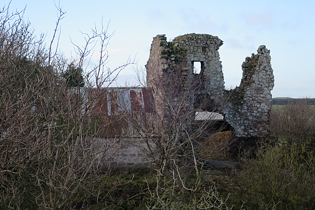
Image: © Anne Burgess Taken: 1 Jan 2018
The ruinous remains of a 17th century tower stand among the farm buildings at Whitton. See https://canmore.org.uk/site/58294/whitton-tower for details.
Images are licensed for reuse under creativecommons.org/licenses/by-sa/2.0
Image Location
Latitude
55.493801
Longitude
-2.383466