Old alignment, A456
Introduction
The photograph on this page of Old alignment, A456 by Richard Webb as part of the Geograph project.
The Geograph project started in 2005 with the aim of publishing, organising and preserving representative images for every square kilometre of Great Britain, Ireland and the Isle of Man.

There are currently over 7.5m images from over 14,400 individuals and you can help contribute to the project by visiting https://www.geograph.org.uk
Old alignment, A456
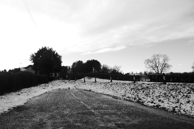
Image: © Richard Webb Taken: 27 Dec 2017
At the junction with Rectory Lane. The A456 was improved in the 1970s with a few bends smoothed out.
Images are licensed for reuse under creativecommons.org/licenses/by-sa/2.0
Image Location
Latitude
52.348799
Longitude
-2.403669