Clows Top
Introduction
The photograph on this page of Clows Top by Richard Webb as part of the Geograph project.
The Geograph project started in 2005 with the aim of publishing, organising and preserving representative images for every square kilometre of Great Britain, Ireland and the Isle of Man.

There are currently over 7.5m images from over 14,400 individuals and you can help contribute to the project by visiting https://www.geograph.org.uk
Clows Top
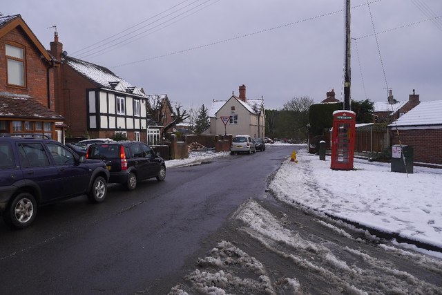
Image: © Richard Webb Taken: 27 Dec 2017
Looking towards the crossroads in the hill top village. The telephone box is disused.
Images are licensed for reuse under creativecommons.org/licenses/by-sa/2.0
Image Location
Latitude
52.344063
Longitude
-2.421241