Information board at the War Memorial Playing Field
Introduction
The photograph on this page of Information board at the War Memorial Playing Field by Adrian S Pye as part of the Geograph project.
The Geograph project started in 2005 with the aim of publishing, organising and preserving representative images for every square kilometre of Great Britain, Ireland and the Isle of Man.

There are currently over 7.5m images from over 14,400 individuals and you can help contribute to the project by visiting https://www.geograph.org.uk
Information board at the War Memorial Playing Field
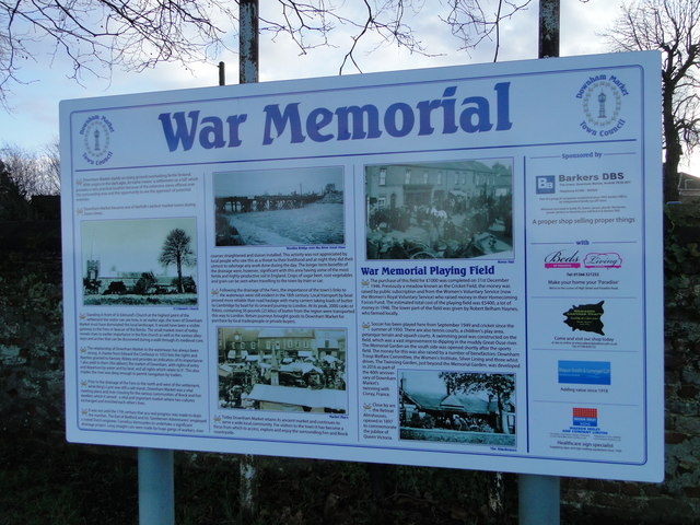
Image: © Adrian S Pye Taken: 5 Jan 2018
The sign in adjacent to the entrance of Downham Market Recreation Ground
Images are licensed for reuse under creativecommons.org/licenses/by-sa/2.0
Image Location
Latitude
52.608483
Longitude
0.385119