Junction of Portobello Way and Greville Road, east Warwick
Introduction
The photograph on this page of Junction of Portobello Way and Greville Road, east Warwick by Robin Stott as part of the Geograph project.
The Geograph project started in 2005 with the aim of publishing, organising and preserving representative images for every square kilometre of Great Britain, Ireland and the Isle of Man.

There are currently over 7.5m images from over 14,400 individuals and you can help contribute to the project by visiting https://www.geograph.org.uk
Junction of Portobello Way and Greville Road, east Warwick
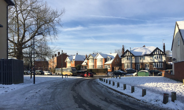
Image: © Robin Stott Taken: 12 Dec 2017
Snow fell on the 10th December, followed by a freeze. The sun came out on the 12th after which came a slow thaw. Behind the camera is the Avonside Health Centre Image
Images are licensed for reuse under creativecommons.org/licenses/by-sa/2.0
Image Location
Latitude
52.289162
Longitude
-1.561598