Musbury
Introduction
The photograph on this page of Musbury by Nigel Mykura as part of the Geograph project.
The Geograph project started in 2005 with the aim of publishing, organising and preserving representative images for every square kilometre of Great Britain, Ireland and the Isle of Man.

There are currently over 7.5m images from over 14,400 individuals and you can help contribute to the project by visiting https://www.geograph.org.uk
Musbury
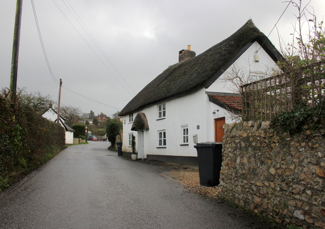
Image: © Nigel Mykura Taken: 2 Jan 2018
The village is located on quite a steep sided hill on the eastern side of the Axe valley. This is the lane that leads down from the village to the River Axe and crosses it at Whitford.
Images are licensed for reuse under creativecommons.org/licenses/by-sa/2.0
Image Location
Latitude
50.747141
Longitude
-3.033234