Field near Brownsfields Farm
Introduction
The photograph on this page of Field near Brownsfields Farm by Bill Boaden as part of the Geograph project.
The Geograph project started in 2005 with the aim of publishing, organising and preserving representative images for every square kilometre of Great Britain, Ireland and the Isle of Man.

There are currently over 7.5m images from over 14,400 individuals and you can help contribute to the project by visiting https://www.geograph.org.uk
Field near Brownsfields Farm
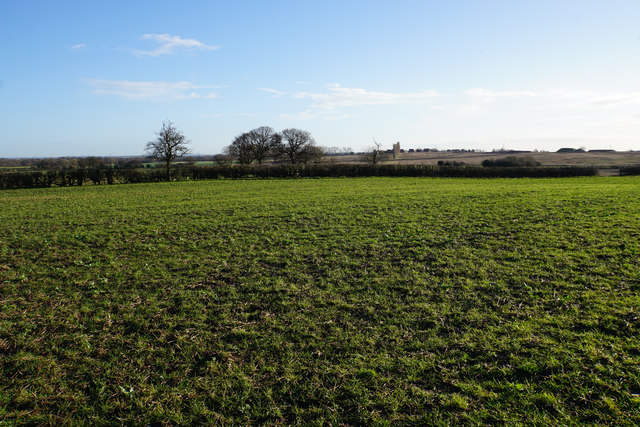
Image: © Bill Boaden Taken: 28 Dec 2017
An undefined footpath crosses this field. It is still icy which keeps the surface hard, but without the ice, the softness would have made it hard going.
Images are licensed for reuse under creativecommons.org/licenses/by-sa/2.0
Image Location
Latitude
52.696165
Longitude
-1.80834