Woodmancote (A4135) in Dursley
Introduction
The photograph on this page of Woodmancote (A4135) in Dursley by David Smith as part of the Geograph project.
The Geograph project started in 2005 with the aim of publishing, organising and preserving representative images for every square kilometre of Great Britain, Ireland and the Isle of Man.

There are currently over 7.5m images from over 14,400 individuals and you can help contribute to the project by visiting https://www.geograph.org.uk
Woodmancote (A4135) in Dursley
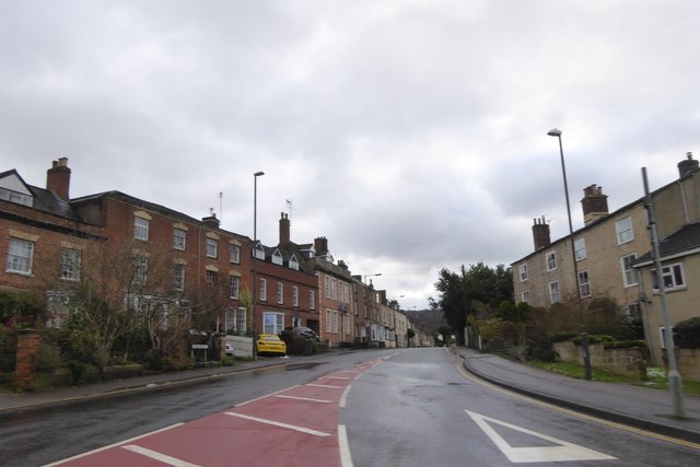
Image: © David Smith Taken: 29 Dec 2017
The main road south lined with a variety of elegant houses, several of which date from the 18th century and are listed grade II
Images are licensed for reuse under creativecommons.org/licenses/by-sa/2.0
Image Location
Latitude
51.67952
Longitude
-2.350537