The northern end of the Fleets
Introduction
The photograph on this page of The northern end of the Fleets by Christine Johnstone as part of the Geograph project.
The Geograph project started in 2005 with the aim of publishing, organising and preserving representative images for every square kilometre of Great Britain, Ireland and the Isle of Man.

There are currently over 7.5m images from over 14,400 individuals and you can help contribute to the project by visiting https://www.geograph.org.uk
The northern end of the Fleets
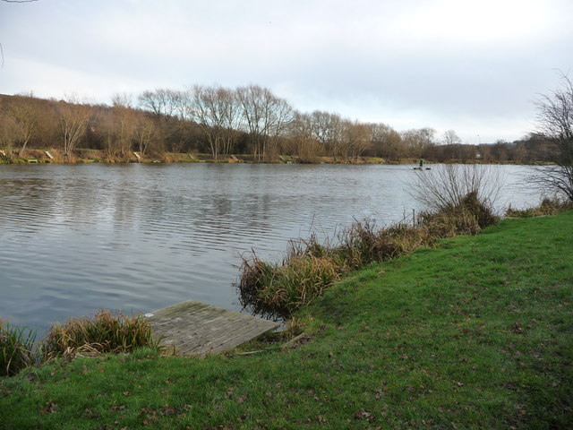
Image: © Christine Johnstone Taken: 31 Dec 2017
A popular 10 acre fishing pond with a perimeter footpath, on the site of a former sewage works. The main species are carp, roach and bream.
Images are licensed for reuse under creativecommons.org/licenses/by-sa/2.0
Image Location
Latitude
53.564761
Longitude
-1.474997