Public Footpath Crossings near Youlgreave, Derbyshire
Introduction
The photograph on this page of Public Footpath Crossings near Youlgreave, Derbyshire by Andrew Tryon as part of the Geograph project.
The Geograph project started in 2005 with the aim of publishing, organising and preserving representative images for every square kilometre of Great Britain, Ireland and the Isle of Man.

There are currently over 7.5m images from over 14,400 individuals and you can help contribute to the project by visiting https://www.geograph.org.uk
Public Footpath Crossings near Youlgreave, Derbyshire
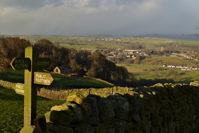
Image: © Andrew Tryon Taken: 28 Dec 2017
A crossroads of public footpaths in the hills south of Youlgreave in the White Peak area of the Peak District National Park, Derbyshire.
Images are licensed for reuse under creativecommons.org/licenses/by-sa/2.0
Image Location
Latitude
53.162536
Longitude
-1.684823