Drainage ditch alongside Waterside Close on Thamesmead
Introduction
The photograph on this page of Drainage ditch alongside Waterside Close on Thamesmead by Marathon as part of the Geograph project.
The Geograph project started in 2005 with the aim of publishing, organising and preserving representative images for every square kilometre of Great Britain, Ireland and the Isle of Man.

There are currently over 7.5m images from over 14,400 individuals and you can help contribute to the project by visiting https://www.geograph.org.uk
Drainage ditch alongside Waterside Close on Thamesmead
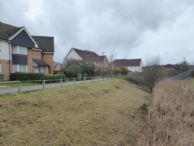
Image: © Marathon Taken: 31 Dec 2017
The landscaped canals were former drainage ditches on Plumstead and Erith Marshes. This small drainage ditch is just west of the Town Centre, alongside Waterside Close, and leads into Twin Tumps.
Images are licensed for reuse under creativecommons.org/licenses/by-sa/2.0
Image Location
Latitude
51.505012
Longitude
0.103251