Stamages Lane, Painswick
Introduction
The photograph on this page of Stamages Lane, Painswick by David Smith as part of the Geograph project.
The Geograph project started in 2005 with the aim of publishing, organising and preserving representative images for every square kilometre of Great Britain, Ireland and the Isle of Man.

There are currently over 7.5m images from over 14,400 individuals and you can help contribute to the project by visiting https://www.geograph.org.uk
Stamages Lane, Painswick
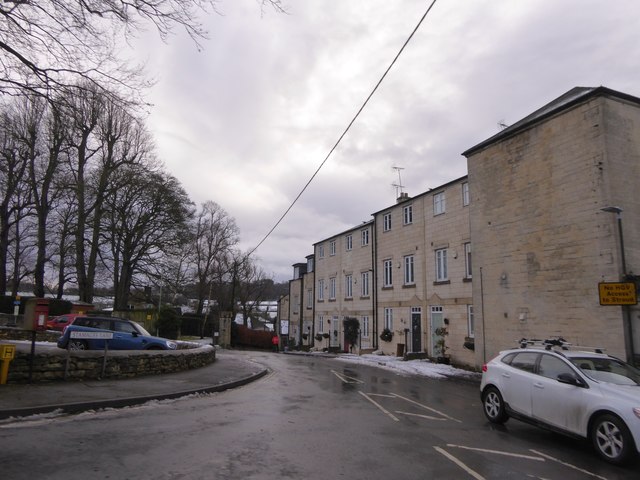
Image: © David Smith Taken: 29 Dec 2017
Modern houses Image in a road with an unusual name but with a strange blank wall at the end
Images are licensed for reuse under creativecommons.org/licenses/by-sa/2.0
Image Location
Latitude
51.783726
Longitude
-2.196813