White Mill, Shapwick, Dorset
Introduction
The photograph on this page of White Mill, Shapwick, Dorset by Phil Champion as part of the Geograph project.
The Geograph project started in 2005 with the aim of publishing, organising and preserving representative images for every square kilometre of Great Britain, Ireland and the Isle of Man.

There are currently over 7.5m images from over 14,400 individuals and you can help contribute to the project by visiting https://www.geograph.org.uk
White Mill, Shapwick, Dorset
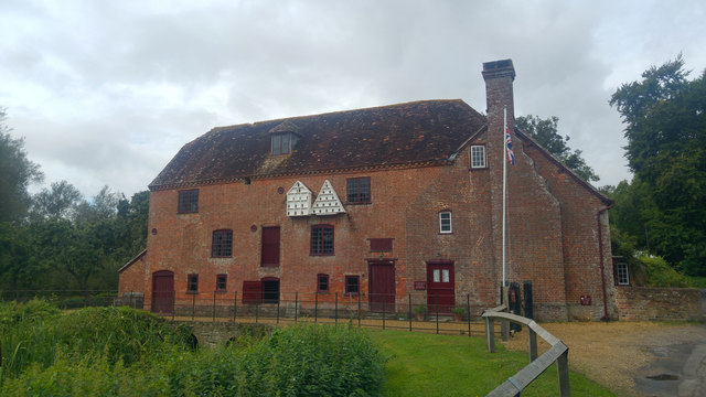
Image: © Phil Champion Taken: 8 Sep 2017
An 18th century corn mill on the River Stour. Now managed by the National Trust as part of their Kingston Lacy estate.
Images are licensed for reuse under creativecommons.org/licenses/by-sa/2.0
Image Location
Latitude
50.80494
Longitude
-2.061113