Land behind Oxenbury's and Assembly Rooms Gundry Lane
Introduction
The photograph on this page of Land behind Oxenbury's and Assembly Rooms Gundry Lane by John Stephen as part of the Geograph project.
The Geograph project started in 2005 with the aim of publishing, organising and preserving representative images for every square kilometre of Great Britain, Ireland and the Isle of Man.

There are currently over 7.5m images from over 14,400 individuals and you can help contribute to the project by visiting https://www.geograph.org.uk
Land behind Oxenbury's and Assembly Rooms Gundry Lane
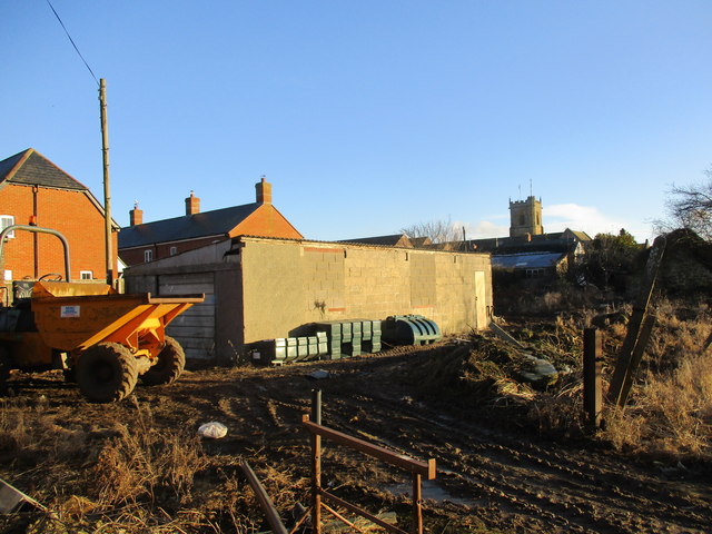
Image: © John Stephen Taken: 28 Dec 2017
This land behind Oxenbury's and The Assembly Rooms is subject of a proposal by Palmers Brewery to build nine houses.
Images are licensed for reuse under creativecommons.org/licenses/by-sa/2.0
Image Location
Latitude
50.73153
Longitude
-2.759419