The lower lane in Dollwen
Introduction
The photograph on this page of The lower lane in Dollwen by Richard Law as part of the Geograph project.
The Geograph project started in 2005 with the aim of publishing, organising and preserving representative images for every square kilometre of Great Britain, Ireland and the Isle of Man.

There are currently over 7.5m images from over 14,400 individuals and you can help contribute to the project by visiting https://www.geograph.org.uk
The lower lane in Dollwen
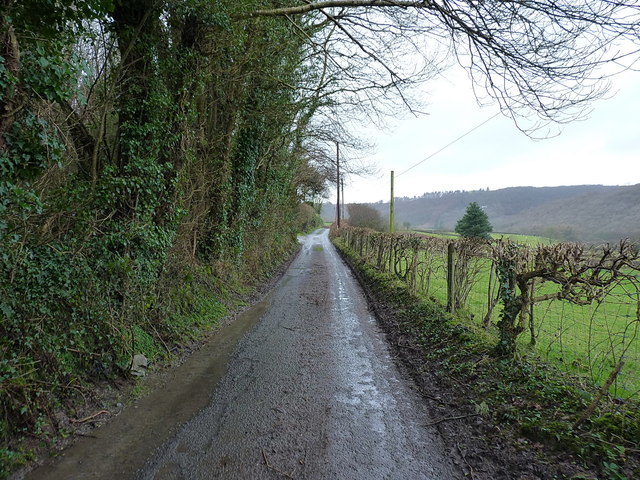
Image: © Richard Law Taken: 25 Dec 2017
Goginan is a hamlet on the A44 road in the valley of the Afon Melindwr - most visitors pass at 40mph on the main road, maybe stopping atImage for a pint on the way through. Dollwen lies 150' below it in the valley; a collection of houses and cottages, plus two currently derelict old chapels.
Images are licensed for reuse under creativecommons.org/licenses/by-sa/2.0
Image Location
Latitude
52.413801
Longitude
-3.932045