The Barton, The Street, Bury
Introduction
The photograph on this page of The Barton, The Street, Bury by Simon Carey as part of the Geograph project.
The Geograph project started in 2005 with the aim of publishing, organising and preserving representative images for every square kilometre of Great Britain, Ireland and the Isle of Man.

There are currently over 7.5m images from over 14,400 individuals and you can help contribute to the project by visiting https://www.geograph.org.uk
The Barton, The Street, Bury
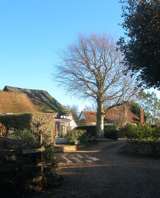
Image: © Simon Carey Taken: 28 Dec 2017
On old converted outbuilding set back from the main village street adjacent to the public footpath.
Images are licensed for reuse under creativecommons.org/licenses/by-sa/2.0
Image Location
Latitude
50.91238
Longitude
-0.562299