Shore at Ardersier
Introduction
The photograph on this page of Shore at Ardersier by Anne Burgess as part of the Geograph project.
The Geograph project started in 2005 with the aim of publishing, organising and preserving representative images for every square kilometre of Great Britain, Ireland and the Isle of Man.

There are currently over 7.5m images from over 14,400 individuals and you can help contribute to the project by visiting https://www.geograph.org.uk
Shore at Ardersier
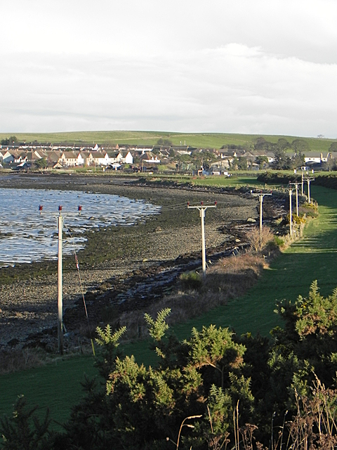
Image: © Anne Burgess Taken: 26 Dec 2017
It's probably just as well that the foreshore west of Ardersier is rocky, seaweedy and maybe a bit muddy, because I can think of few better ways of disfiguring a beach than putting a power line along it. At least the wading birds don't seem to mind the telegraph poles.
Images are licensed for reuse under creativecommons.org/licenses/by-sa/2.0
Image Location
Latitude
57.555235
Longitude
-4.047726