Roundabout and open space at the end of Banks Lane, Toton
Introduction
The photograph on this page of Roundabout and open space at the end of Banks Lane, Toton by Peter Shone as part of the Geograph project.
The Geograph project started in 2005 with the aim of publishing, organising and preserving representative images for every square kilometre of Great Britain, Ireland and the Isle of Man.

There are currently over 7.5m images from over 14,400 individuals and you can help contribute to the project by visiting https://www.geograph.org.uk
Roundabout and open space at the end of Banks Lane, Toton
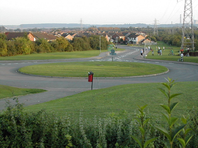
Image: © Peter Shone Taken: 22 Sep 2005
This view is taken from the children's playground at approximately SK 490 351 looking back down Banks Lane to the south. The area on the right is used as a play area by local children.
Images are licensed for reuse under creativecommons.org/licenses/by-sa/2.0
Image Location
Latitude
52.911633
Longitude
-1.271618