Farmland, soon to be developed
Introduction
The photograph on this page of Farmland, soon to be developed by Peter Kazmierczak as part of the Geograph project.
The Geograph project started in 2005 with the aim of publishing, organising and preserving representative images for every square kilometre of Great Britain, Ireland and the Isle of Man.

There are currently over 7.5m images from over 14,400 individuals and you can help contribute to the project by visiting https://www.geograph.org.uk
Farmland, soon to be developed
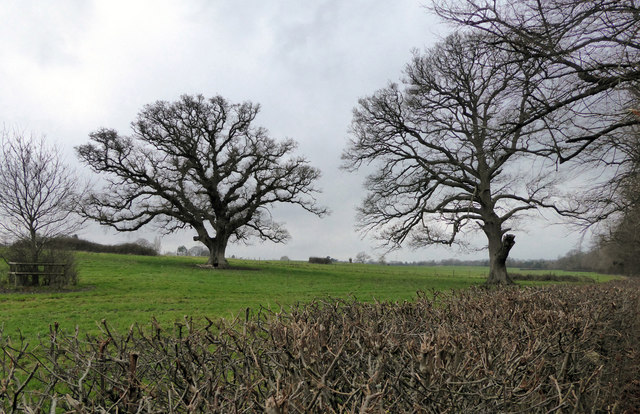
Image: © Peter Kazmierczak Taken: 25 Dec 2017
Farmland, on the south bank of the River Stour, soon to be redeveloped with housing.
Images are licensed for reuse under creativecommons.org/licenses/by-sa/2.0
Image Location
Latitude
50.788403
Longitude
-1.960936