Waldringfield: along Mill Road
Introduction
The photograph on this page of Waldringfield: along Mill Road by John Sutton as part of the Geograph project.
The Geograph project started in 2005 with the aim of publishing, organising and preserving representative images for every square kilometre of Great Britain, Ireland and the Isle of Man.

There are currently over 7.5m images from over 14,400 individuals and you can help contribute to the project by visiting https://www.geograph.org.uk
Waldringfield: along Mill Road
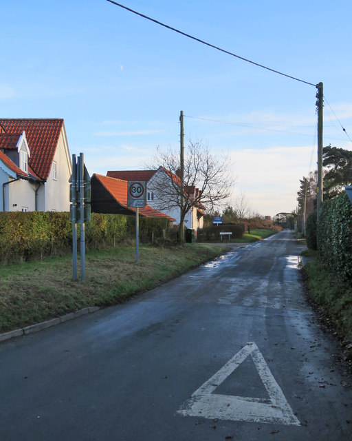
Image: © John Sutton Taken: 26 Dec 2017
Looking towards the church (its brick tower shows over the hedge in the distance) on Boxing Day afternoon.
Images are licensed for reuse under creativecommons.org/licenses/by-sa/2.0
Image Location
Latitude
52.0518
Longitude
1.323075