Audley End House
Introduction
The photograph on this page of Audley End House by Robin Webster as part of the Geograph project.
The Geograph project started in 2005 with the aim of publishing, organising and preserving representative images for every square kilometre of Great Britain, Ireland and the Isle of Man.

There are currently over 7.5m images from over 14,400 individuals and you can help contribute to the project by visiting https://www.geograph.org.uk
Audley End House
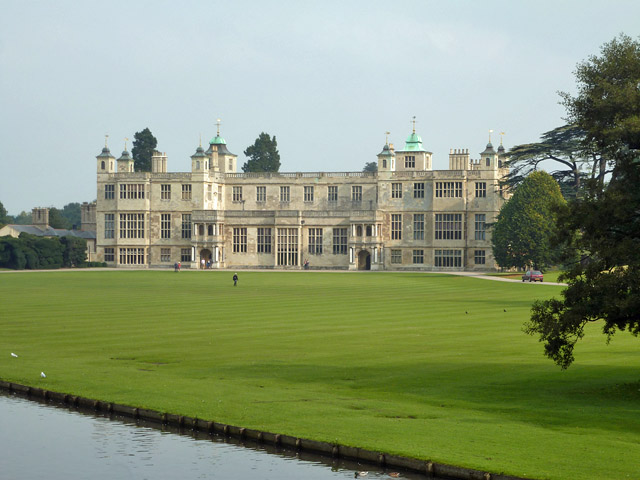
Image: © Robin Webster Taken: 3 Oct 2015
A grade I listed building, early 17th century, reduced in size (!) in the 18th century.
Images are licensed for reuse under creativecommons.org/licenses/by-sa/2.0
Image Location
Latitude
52.020736
Longitude
0.220497