Western end of Elcot Lane, Marlborough
Introduction
The photograph on this page of Western end of Elcot Lane, Marlborough by Jaggery as part of the Geograph project.
The Geograph project started in 2005 with the aim of publishing, organising and preserving representative images for every square kilometre of Great Britain, Ireland and the Isle of Man.

There are currently over 7.5m images from over 14,400 individuals and you can help contribute to the project by visiting https://www.geograph.org.uk
Western end of Elcot Lane, Marlborough
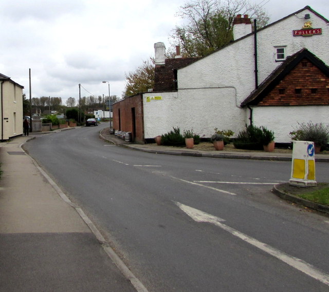
Image: © Jaggery Taken: 14 Oct 2017
Looking east along Elcot Lane from the corner of London Road. The Fuller's name on the right is on a wall of the Roebuck Inn. http://www.geograph.org.uk/photo/5568727
Images are licensed for reuse under creativecommons.org/licenses/by-sa/2.0
Image Location
Latitude
51.420486
Longitude
-1.718943