Stock Bridge, Bradford Road
Introduction
The photograph on this page of Stock Bridge, Bradford Road by Roger Templeman as part of the Geograph project.
The Geograph project started in 2005 with the aim of publishing, organising and preserving representative images for every square kilometre of Great Britain, Ireland and the Isle of Man.

There are currently over 7.5m images from over 14,400 individuals and you can help contribute to the project by visiting https://www.geograph.org.uk
Stock Bridge, Bradford Road
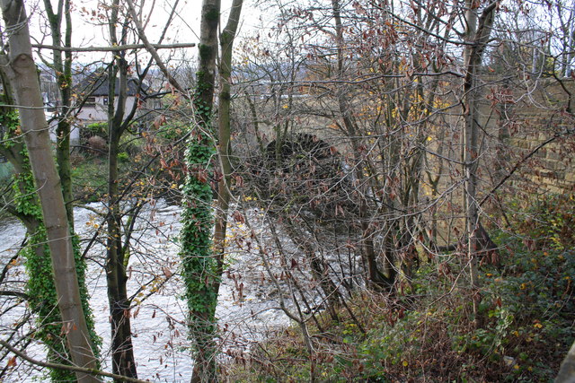
Image: © Roger Templeman Taken: 25 Nov 2017
A bolt benchmark was cut by the Ordnance Survey on the left hand side of bridge arch in 1842 on the Milner's Bridge to Bradford survey line. See details on the Bench Mark Database at http://www.bench-marks.org.uk/bm28226
Images are licensed for reuse under creativecommons.org/licenses/by-sa/2.0
Image Location
Latitude
53.876128
Longitude
-1.888017