Cycle route 52 and Hermitage Lake
Introduction
The photograph on this page of Cycle route 52 and Hermitage Lake by Tim Glover as part of the Geograph project.
The Geograph project started in 2005 with the aim of publishing, organising and preserving representative images for every square kilometre of Great Britain, Ireland and the Isle of Man.

There are currently over 7.5m images from over 14,400 individuals and you can help contribute to the project by visiting https://www.geograph.org.uk
Cycle route 52 and Hermitage Lake
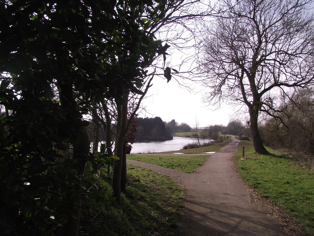
Image: © Tim Glover Taken: 8 Mar 2014
The cycle path follows the route of the Charnwood Forest Railway. The lake was once a clay quarry.
Images are licensed for reuse under creativecommons.org/licenses/by-sa/2.0
Image Location
Latitude
52.736059
Longitude
-1.364299