Victoria Park Tennis Club and Glencoe
Introduction
The photograph on this page of Victoria Park Tennis Club and Glencoe by David Smith as part of the Geograph project.
The Geograph project started in 2005 with the aim of publishing, organising and preserving representative images for every square kilometre of Great Britain, Ireland and the Isle of Man.

There are currently over 7.5m images from over 14,400 individuals and you can help contribute to the project by visiting https://www.geograph.org.uk
Victoria Park Tennis Club and Glencoe
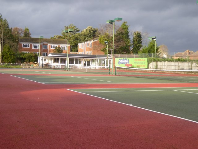
Image: © David Smith Taken: 25 Dec 2017
The tennis and bridge clubhouse is on the boundary between the club and the low-rise block of 1970's flats named Glencoe, after the house which formerly occupied the land. The facilities were deserted at noon on Christmas Day, to nobody's surprise
Images are licensed for reuse under creativecommons.org/licenses/by-sa/2.0
Image Location
Latitude
50.719211
Longitude
-3.515118