Craigston Sawmill
Introduction
The photograph on this page of Craigston Sawmill by Anne Burgess as part of the Geograph project.
The Geograph project started in 2005 with the aim of publishing, organising and preserving representative images for every square kilometre of Great Britain, Ireland and the Isle of Man.

There are currently over 7.5m images from over 14,400 individuals and you can help contribute to the project by visiting https://www.geograph.org.uk
Craigston Sawmill
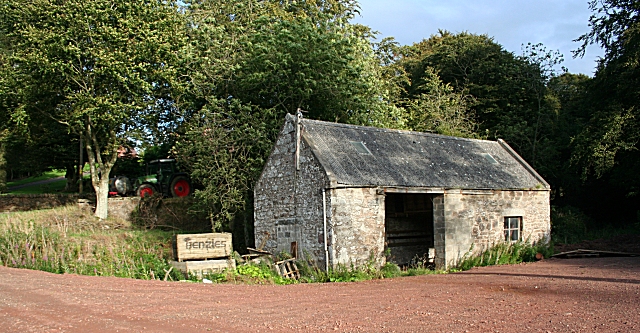
Image: © Anne Burgess Taken: 21 Sep 2007
From its position by the burn and the OS map, I thought this was the Mill of Craigston. However I am assured that it was in fact the sawmill, and that the Mill is further on.
Images are licensed for reuse under creativecommons.org/licenses/by-sa/2.0
Image Location
Latitude
57.588774
Longitude
-2.383013