Roman Drive, Hillfoot
Introduction
The photograph on this page of Roman Drive, Hillfoot by Richard Sutcliffe as part of the Geograph project.
The Geograph project started in 2005 with the aim of publishing, organising and preserving representative images for every square kilometre of Great Britain, Ireland and the Isle of Man.

There are currently over 7.5m images from over 14,400 individuals and you can help contribute to the project by visiting https://www.geograph.org.uk
Roman Drive, Hillfoot
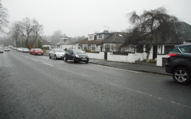
Image: © Richard Sutcliffe Taken: 22 Dec 2017
Appropriately named Bearsden street. The line of the Antonine Wall runs about 200m to the west (extreme left of image).
Images are licensed for reuse under creativecommons.org/licenses/by-sa/2.0
Image Location
Latitude
55.919959
Longitude
-4.322507