Yonderton
Introduction
The photograph on this page of Yonderton by Anne Burgess as part of the Geograph project.
The Geograph project started in 2005 with the aim of publishing, organising and preserving representative images for every square kilometre of Great Britain, Ireland and the Isle of Man.

There are currently over 7.5m images from over 14,400 individuals and you can help contribute to the project by visiting https://www.geograph.org.uk
Yonderton
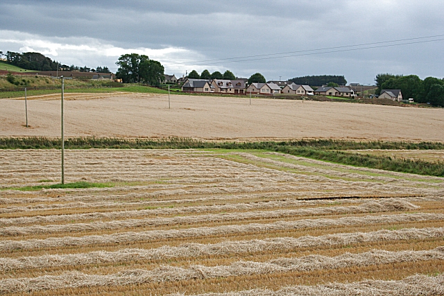
Image: © Anne Burgess Taken: 21 Sep 2007
Fields beside Yonderton Cottages. The Craigston Burn is marked by the green vegetation beyond the first field. The new houses clustered above are part of Fintry.
Images are licensed for reuse under creativecommons.org/licenses/by-sa/2.0
Image Location


Leaflet Map data © OpenStreetMap
Latitude
57.584917
Longitude
-2.409899