Barbourne Pumping Station
Introduction
The photograph on this page of Barbourne Pumping Station by Philip Halling as part of the Geograph project.
The Geograph project started in 2005 with the aim of publishing, organising and preserving representative images for every square kilometre of Great Britain, Ireland and the Isle of Man.

There are currently over 7.5m images from over 14,400 individuals and you can help contribute to the project by visiting https://www.geograph.org.uk
Barbourne Pumping Station
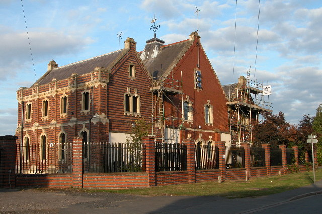
Image: © Philip Halling Taken: 21 Sep 2005
The former Barbourne water treatment works is now closed, the water tanks have been filled in and landscaped.
Images are licensed for reuse under creativecommons.org/licenses/by-sa/2.0
Image Location


Leaflet Map data © OpenStreetMap
Latitude
52.206489
Longitude
-2.235555