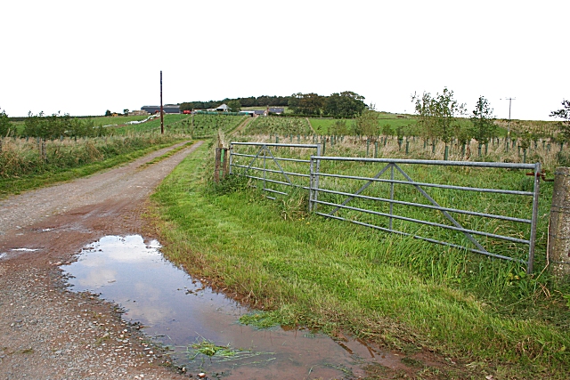
Blakeshouse
Introduction
The photograph on this page of Blakeshouse by Anne Burgess as part of the Geograph project.
The Geograph project started in 2005 with the aim of publishing, organising and preserving representative images for every square kilometre of Great Britain, Ireland and the Isle of Man.
There are currently over 7.5m images from over 14,400 individuals and you can help contribute to the project by visiting https://www.geograph.org.uk

Image: © Anne Burgess Taken: 21 Sep 2007
The map-makers seem to be in some confusion as to which farm is called what around here. The names on the 19th century six-inch map match the ones on the latest 1:25,000 map, that is, Wester Blakeshouse in Image, Easter Blakeshouse in Image, and Blakeshouse, the one in this photograph, in Image The sign at the end of the track confirms that this farm is Blakeshouse, as marked on the 1:25,000 map. However the 1958 one-inch map and the current 1:50,000 mark as plain Blakeshouse the one in Image, which the 1:25,000 names as Easter Blakeshouse. I am grateful to Jean McCafferty, whose forebears used to live in Easter and Wester Blakeshouse, for telling me that Wester Blakeshouse was also known as Upper Blakeshouse, and confirming that the sign to the farm named on the one-inch and 1:50,000 as plain Blakeshouse does actually read 'Easter Blakeshouse'. I hope that's all quite clear now?

