A building at the former RAF Binbrook
Introduction
The photograph on this page of A building at the former RAF Binbrook by Jon McGuinness as part of the Geograph project.
The Geograph project started in 2005 with the aim of publishing, organising and preserving representative images for every square kilometre of Great Britain, Ireland and the Isle of Man.

There are currently over 7.5m images from over 14,400 individuals and you can help contribute to the project by visiting https://www.geograph.org.uk
A building at the former RAF Binbrook
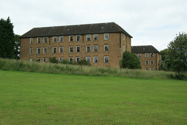
Image: © Jon McGuinness Taken: 1 Jul 2007
A building at the former RAF Binbrook, looking rather worse for wear.
Images are licensed for reuse under creativecommons.org/licenses/by-sa/2.0
Image Location
Latitude
53.441774
Longitude
-0.186559