Gartside Gardens
Introduction
The photograph on this page of Gartside Gardens by Gerald England as part of the Geograph project.
The Geograph project started in 2005 with the aim of publishing, organising and preserving representative images for every square kilometre of Great Britain, Ireland and the Isle of Man.

There are currently over 7.5m images from over 14,400 individuals and you can help contribute to the project by visiting https://www.geograph.org.uk
Gartside Gardens
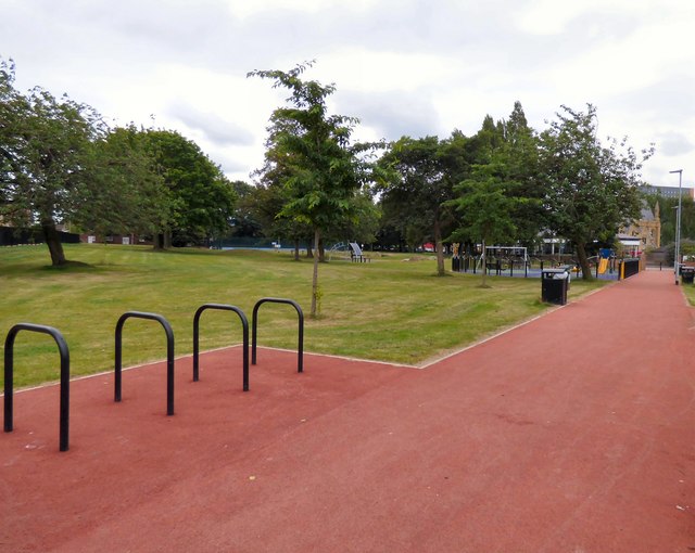
Image: © Gerald England Taken: 7 Jul 2017
A small urban park bounded on three side by houses on the Brunswick Estate. It started out in 1821 as Rusholme Road Cemetery. The last burial was carried out in 1933. See Manchester History http://manchesterhistory.net/manchester/outside/gartsidegardens.html for more information. The gardens are currently managed by S4B - see http://s4bmanchester.co.uk/the-vision/open-and-green-spaces/gartside-gardens-faqs/
Images are licensed for reuse under creativecommons.org/licenses/by-sa/2.0
Image Location
Latitude
53.470501
Longitude
-2.231355